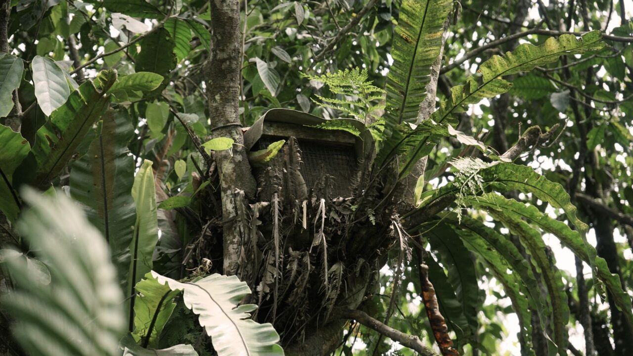

This study aims to develop an agricultural management model in a constant conservation area of Darang Ranu, Bromo Tengger Semeru (TNBTS), through geospasial technology approach and Soft System Methodology (SSM). The main focus of this research is to optimize the potential for forest honey production by exploiting geospatial analysis in determining an ideal hive installation point. This approach considers topography, vegetation, as well as environmental conditions to minimize the migration of the bee colony as it increases productivity and harvest quality for farmers.
In addition to the production aspect, this research also puts emphasis on the safety and continuity of conservation region management. This was manifested through the design of secure access lines for farmers, the limitation of zones allowed for agricultural activity, and the drafting of disaster evacuation paths that are responsive to the geographic state of the region. Thus, this study is not only oriented to increase the economy of society, but also to protect the ecosystem and the safety of work.
Furthermore, this study assesses the dynamics of the relationship between the stars, the interests of the skeleton. multilevel governance, including the government, the conservation district manager, the forest farming group, as well as other supporting actors. This analysis aims to clarify the regulatory aspects and strengthen the legal umbrella for nonwood forest activity, so it can run in tune with the principle of preservation of the environment.
This research is expected to produce an integrative, adaptive, data-based agricultural management model. In addition to contributing theoretical development studies governance And the management of natural resources, this research is also expected to be a practical reference in developing sustainable agricultural systems in conservation areas that can balance economic and ecological interests.
CPDS Admin